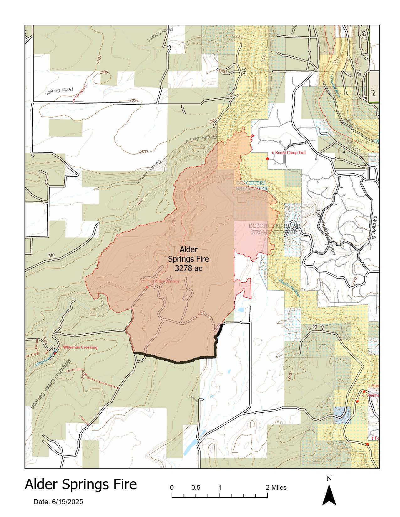
Firefighters made significant progress Wednesday on the Alder Springs Fire, increasing containment to 21% and securing a 50-foot perimeter around the entire fire. The blaze remains estimated at 3,278 acres.
With improved conditions and Oregon State Fire Marshal task forces actively working in the Crooked River Ranch area, the Jefferson County Sheriff’s Office has lifted all Level 3 (GO NOW) evacuation orders. Residents are urged to check current evacuation maps and use caution when returning, as fire crews are still working in the area.
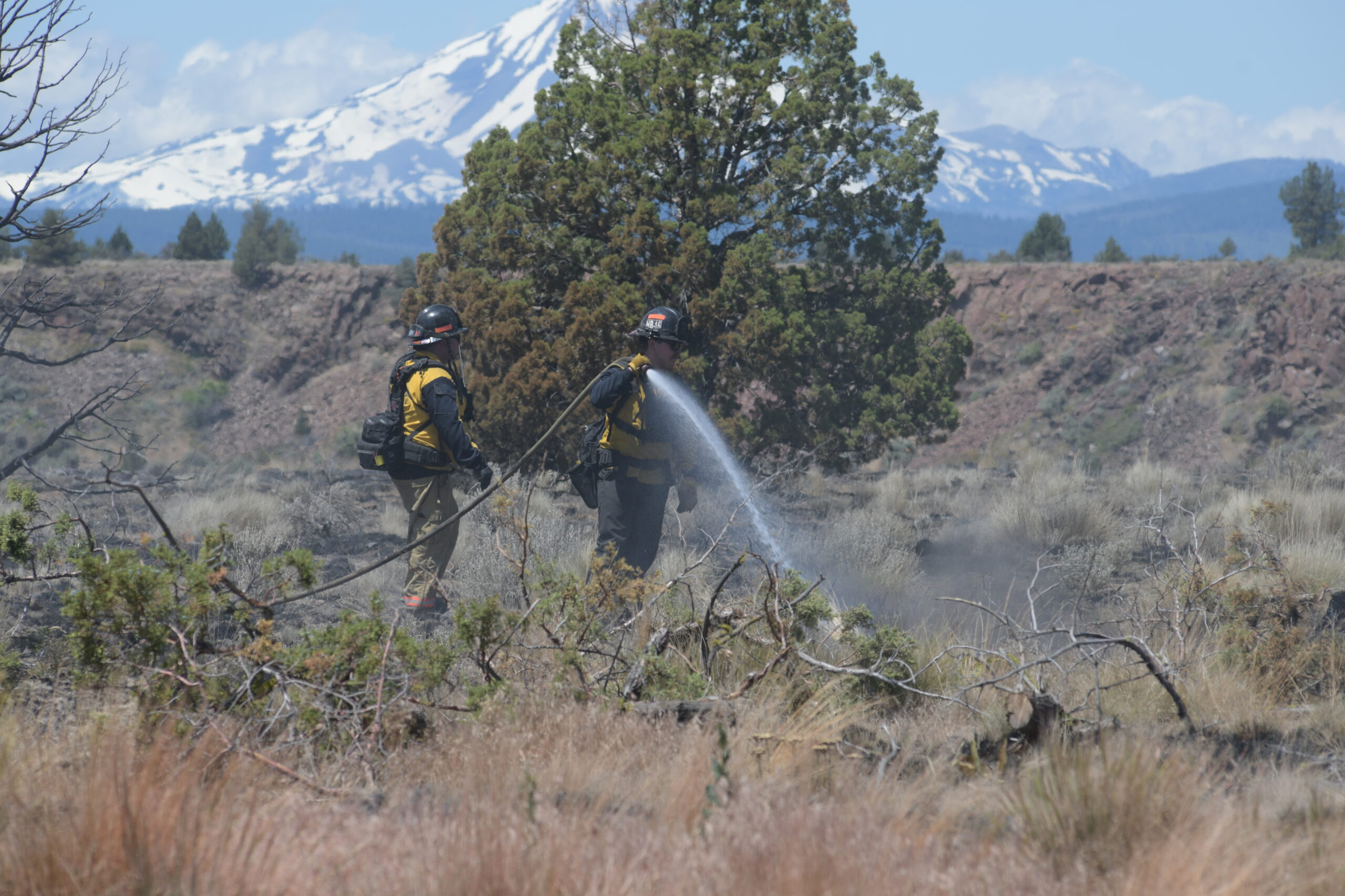
Yesterday, crews focused on the east flank of the fire, from Crooked River Ranch to the Deschutes River, continuing mop-up operations and cooling hot spots within the interior. The Texas Canyon Interagency Hotshot Crew worked steep terrain in canyon drainages, supported by helicopters dropping water on dense heat pockets. Smokejumpers and rappellers targeted hot spots in the Carcass Canyon area, while ground crews worked to secure the fire’s edge from Whychus Creek north to the Deschutes River confluence.
The Oregon State Fire Marshal task forces continued tactical patrols and structure protection operations, extinguishing hot spots near previously threatened homes.
Thursday, firefighters will work to increase the mop-up depth to 100 feet around the fire’s perimeter. While smoke may remain visible, crews will be assisted by Unmanned Aircraft Systems (UAS), or drones, equipped with heat-sensing technology to help identify and suppress remaining hot spots—critical work as temperatures rise and winds increase.
As the immediate threat decreases, The Oregon State Fire Marshal has begun demobilizing some task forces to allow them to return to their home communities. Remaining crews are continuing community assessments and structure evaluations. The agency remains committed to supporting local partners and coordinating statewide fire response efforts.
Closures: Access to Bureau of Land Management lands remains closed, including the Steelhead Falls, Scout Camp and Otter Bench trailheads.
Evacuation Maps: