Monday, September 2 was a day of transition on the Copperfield Fire near Chiliquin in Klamath County. The Oregon Department of Forestry’s Incident Management Team 3 and the Oregon State Fire Marshal Red Incident Management Team are managing the fire under unified command as of 6 p.m. on Monday.
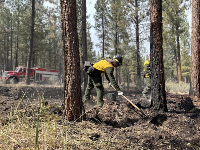
The fire is estimated to be 3,241 acres, driven by strong afternoon winds. Much of the fire’s growth was on the western flank. Firefighters were challenged by changing wind directions and active fire behavior. Crews responded to a new spot fire nearly a half mile from the fire’s perimeter. Fire crews are working with heavy equipment operators to put in and solidify dozer line on the east and north end. The east side of the fire continues to hold because of a fuels treatment that had been completed. Firefighters are mopping up the area and extinguishing hot spots.
Firefighters from across Oregon continue to arrive to battle the blaze and are being supported by a half dozen aircraft. Monday night operations focused on taking advantage of low temperatures and high humidity to solidify the containment lines established earlier in the day. Crews are focused on preserving life and property and keeping the current fire footprint as small as possible to minimize impacts to timber, rangeland, and cultural sites.
Those living in the area and visitors are asked to stay safe and informed. Visit Klamath County’s Emergency Management website for up-to-date information on evacuations and evacuee resources. Per the Klamath County Sheriff’s Office, evacuation levels will be reassessed on the morning of September 3. Changes will be published first to Genasys Protect, then by mass notification, and then to the Klamath County Common Operating Picture (COP). A road closure remains on the Sprague River Highway between mile markers 5 and 15.
Information will continue to be posted on the Copperfield Fire 2024 Facebook page.
