Firefighters worked through the night on the Darlene 3 Fire establishing control lines around the fire. A Central Oregon Type 3 team is in unified command with Oregon State Fire Marshal (OSFM) Red Team.
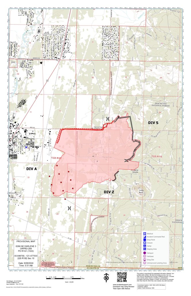
The fire is currently 2,415 acres and 30 percent contained. Fire investigators are actively investigating the cause of the fire. Winds and warm temperatures Wednesday afternoon are expected and will test established lines. The focus will be to keep the fire within its current footprint and strengthen fire lines with dozers, handcrews and engines. Air resources will continue to engage with the fire as needed.
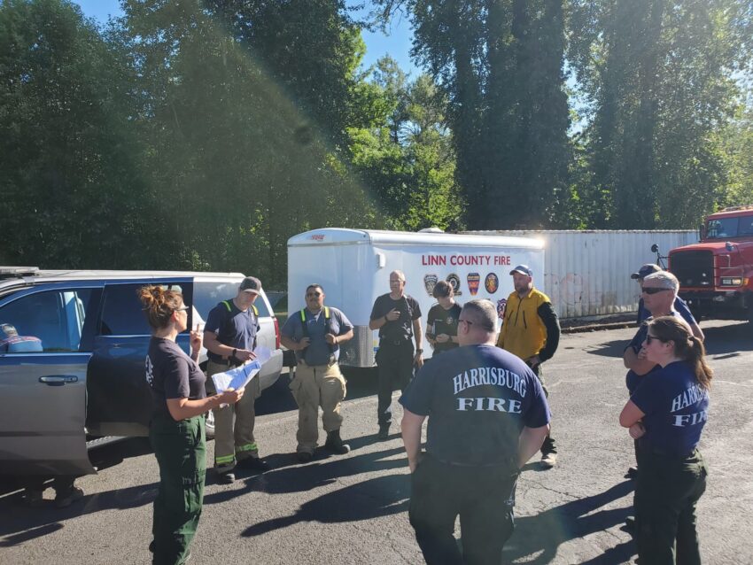
Structure and wildland resources continue to arrive at the incident command post in La Pine to support the fire. Six structural task forces from Clackamas, Clatsop, Lane, Linn, Marion, and Yamhill counties will be working to prep and protect structures. The task forces were mobilized by the Oregon State Fire Marshal on Tuesday. The crews will be working on the east side of La Pine, Newberry Estates, and at nearby water and power infrastructure.
QUICK FACTS
The OSFM has mobilized:
6 Structural Task Forces
81 Firefighters
24 Fire Engines
4 Water Tenders
37 IMT Members & Support
The Deschutes County Sheriff’s Office and the fire team will continue to discuss evacuation level needs. The Sheriff’s Office will update evacuation levels accordingly. For the most up-to-date official evacuation information please visit Deschutes County evacuation information map.
The Red Cross is staffing the evacuation shelter at La Pine High School (51633 Coach Rd.) with support from the Deschutes County Medical Reserve Corps. The La Pine Activity Center (16450 Victory Way) is open for RVs to park and has space for animals. The La Pine Rodeo Grounds is accepting livestock and companion animals in coordination with the Pet Evacuation Team. Bend Pet Resort (60909 SE 27th St., Bend), is accepting cats and dogs and can be reached by calling 458-666-7505.
Prairie Campground, McKay Crossing Campground, Ogden Group Campground, and the Rosland OHV play area and associated trails are also closed. The Prineville District Bureau of Land Management (BLM) has also issued an Emergency Public Land Closure. The closure includes all BLM-administered lands within National Forest Road 180 on the south, Highway 97 on the west, Paulina Lake Road on the north, and the Deschutes National Forest Boundary on the east. This closure is effective immediately and will remain in effect until such a time as conditions allow for safe use of the public lands. This closure notice will be available online.
As Oregon moves into the dry summer months, it is imperative that Oregonians and visitors be aware of the increased fire danger and take precautions to avoid sparking a fire. Please be aware of and check with local land management agencies for current fire restrictions.

