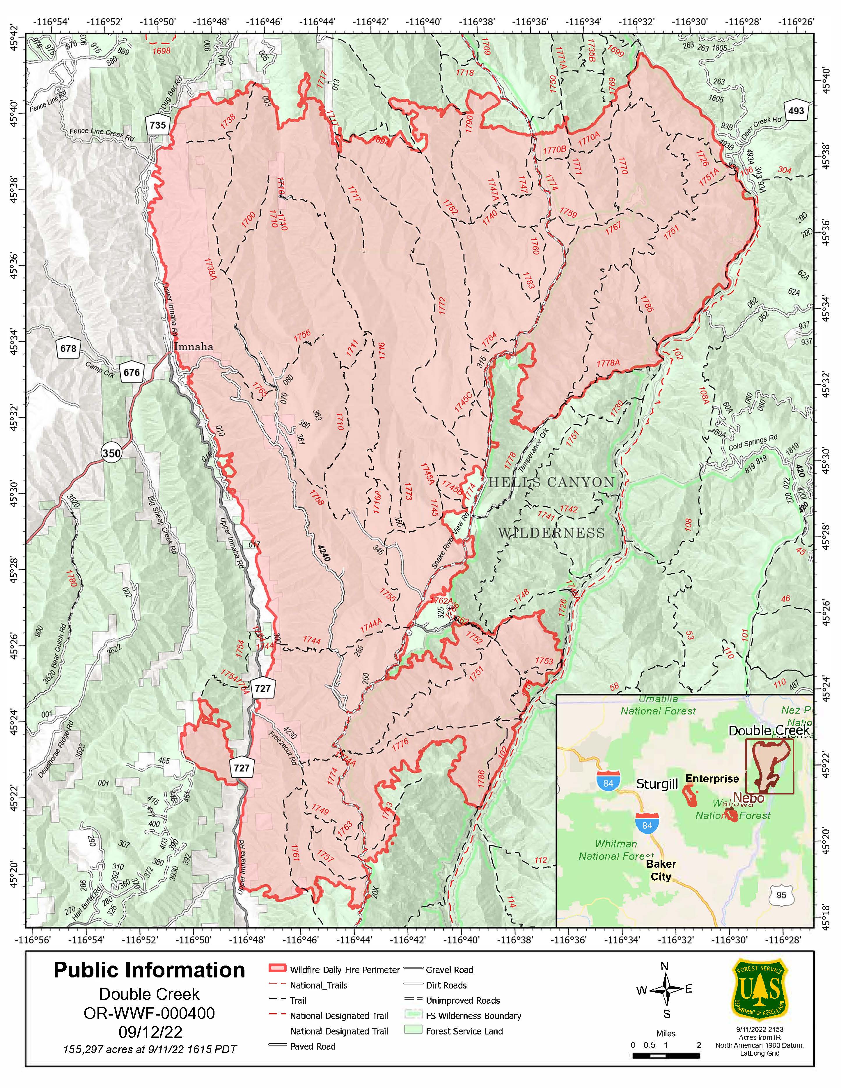
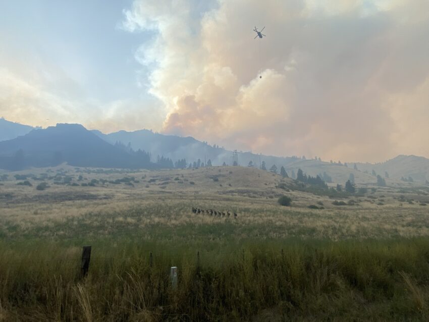
Firefighters and air resources continued work to contain a fire that spotted across the west bank of the Imnaha River. Air resources dropped 56 loads of retardant on the fire since it was discovered Saturday afternoon.
The OSFM task forces worked in Big Sheep Creek to protect structures in the area. Crews are connecting handlines to stop fire growth on the west side of the Imnaha River. North of the Double Creek Fire, operations put in a fire line on the ridges to prevent the fire from impacting additional private lands.
Despite the activity across the Imnaha River, the OSFM crews remained focused on structure protection in the Imnaha River Woods area. Crews worked on a contingency line south of the fire for additional protection. Work will begin building the dozer line in the north to flank the fire across the difficult topography. Crews on the Snake River continue evaluating and prepping structures in Hells Canyon.
Weather: Poor humidity recovery from Saturday night resulted in drier than normal humidity Sunday morning. South wind prevailed through much of the day with gusts of 15-20 mph on ridgetops. Lower elevations received light and variable wind, which limited smoke dispersion. Relative humidity values will be higher today with a minimum of 25 percent. There will be a chance of showers beginning tonight, but widespread rain is not expected. Winds will be light and variable throughout the week.
Smoke: The Oregon Department of Environmental Quality has issued an Air Quality Advisory that is in effect until 2 p.m. PDT Monday for Deschutes, Umatilla, Union, and Wallowa counties. A smoke outlook for northeast Oregon is available from the wildland fire air quality response program. Additional information: PurpleAir website
Airspace: Airspace restrictions have been issued and Temporary Flight Restrictions were updated for the Double Creek Fire (TFR 2/5592) and the Sturgill Fire (TFR 2/3189) to provide a safe environment for firefighting aircraft operations over the fires. Flight restrictions apply to drones. Drones flying in areas of wildfire activity will cause firefighting aircraft to be grounded.
Restrictions: Forest Order #06-16-00-22-04 covers Phase B Fire Restrictions for all National Forest System Lands within the Wallowa-Whitman National Forest, except for the area within a ¼ mile of the Snake River between Hells Canyon Dam, River Mile 247.5, downstream to the Oregon-Washington border at Snake River Mile 176.0, which is regulated by Forest Order #06-16-04-22-01.
Double Creek Fire acres burned: 155,297
Containment: 15%
Personnel assigned: 773
Evacuation info: Wallowa County Sheriff’s Office
Sign up for emergency alerts: member.everbridge.net/964001114619923/login
Facebook
InciWeb
YouTube
Phone: 541-216-4579
Email: 2022.doublecreek@firenet.gov
Oregon Department of Transportation Closures: www.tripcheck.com
Wallowa Whitman National Forest Temporary Area Closures: Wallowa Whitman National Forest Fire Incident Updates
Fire Information: Office hours 8 a.m. – 8 p.m. | 541-216-4579 | 2022.doublecreek@firenet.gov

Sturgill Fire
There was increased smoke production and single and group tree torching on the fire yesterday, but minimal acreage growth. Crews continued work on the shaded fuel break project. Structure protection at Bear Creek Guard Station was completed. Today firefighters will reassess the structure protection in place, continuing work on the shaded fuel break in the Lostine corridor.
Sturgill Fire acres burned: 19,774
Containment: 0%
Personnel assigned: 76
YouTube
Phone: 541-216-4579

