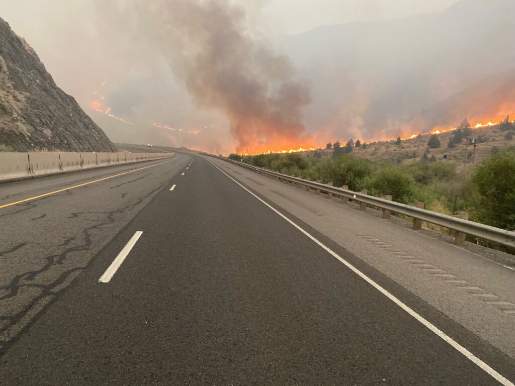
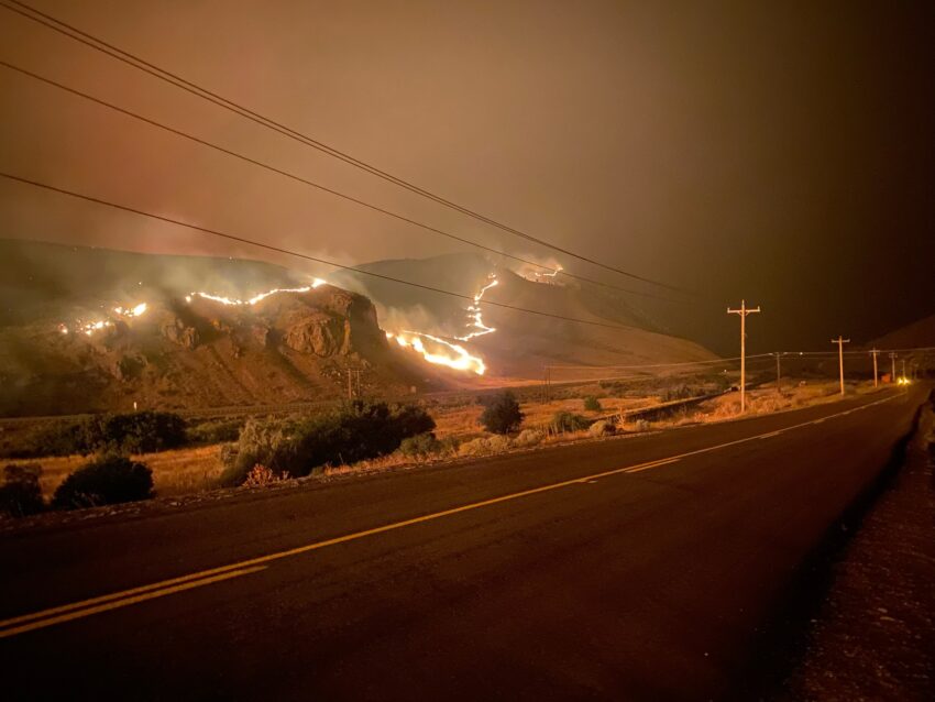
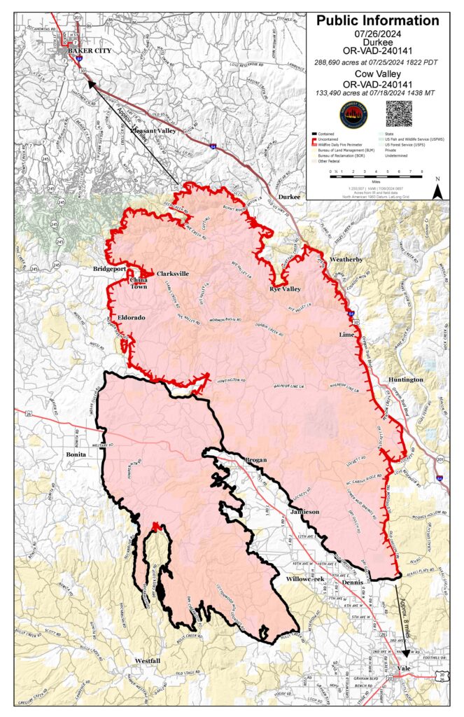
The Durkee Fire in Baker County is currently the largest fire in the nation. Sandwiched between the Cow Valley Fire footprint to the southwest and the Thompson Fire to the northeast, it is considered a megafire. Megafires are large wildfires that grow larger than 100,000 acres. Its perimeter is 169 miles, comparable to driving from the Oregon towns of Vale to Umatilla.
Near critical fire weather conditions persist on the Durkee Fire. Twenty percent containment was gained from Brogan to Dennis on Hwy 26 on Thursday. Positive fire behavior effects from precipitation earlier in the week are no longer present in the forecast. Amidst unprecedented fire weather challenges, Northwest Team 6 is in unified command with the Oregon State Fire Marshal. The structural threat is diminishing and the state fire marshal is working with local partners to ensure they are ready to reengage.
QUICK FACTS:
Start date: July 17, 2024
Location: 5 miles southwest of Durkee, OR
Personnel: 565
OSFM Task Forces: 4
Fire size: 288,690 acres
Cause: Lightning
Containment: 20%
Fire Front Activity by Quadrant
Burnt River, northern fire front: Firefighters are successfully holding the fire with a strategy of direct suppression.
I-84 Corridor, eastern and southwestern flank: Fire is approaching the I-84 corridor north of Rye Valley. South of Lime, the fire is holding. Continuing to secure the cement plant and Shirttail Road are top priorities. Wide-spread structure mop-up within a 100-foot perimeter is a focus for firefighters today. Heavy equipment will be utilized to protect power lines and other infrastructure. Firefighters are focused on attaining containment from Lockett Road around the southern tip of the Durkee Fire footprint to extend the southwest containment line.
Bridgeport to Dark Canyon, northwest fire front: Dark Canyon is an area of concern due to heavier winds and drier conditions at high elevation and a shift in fuel type to more timber, as compared to Durkee Fire’s predominant fuels of grass, shrubs and sparse Juniper.
Fire Weather Forecast
Friday and for the next week, winds will be gusty and variable. In the afternoons, winds are expected to taper to 20mph gusts and come from the south/southeast. North to northwest 40mph gusts will rise into the evening and overnight. This pattern is expected for the next week. Although morning temperatures have dropped significantly, humidity recovery remains poor and only around 20 to 30 percent.
It was reported that blown dust and ash created near to zero visibility along Highway 26 last night.
We continue to see extreme fire behavior that will be challenging. With burn periods projected for 22-
24 hours a day, high-elevation fuels in the NW quadrant of the Durkee Fire footprint are particularly dry
and likely to burn with high rates of spread.
Aerial resources will be coordinated and prioritized between the Badland Complex, Durkee Fire and
Vale BLM going forward due to state-wide fires and resource availability.
The Malheur County Sheriff’s Office and the Baker County Sheriff’s Office have issued evacuations for
multiple areas through Durkee Fire timeline and some evacuation levels have diminished. Residents in
Level 3 Evacuations “GO NOW”, should leave immediately. Residents should not return to their property until evacuation levels have been removed. Carry enough supplies to support you and your family for multiple days. A real-time map of fire evacuations can be found at the State of Oregon Fire Dashboard.
BURN BAN: A burn ban is currently in effect for all of Malheur County, including all BLM lands.
TEMPORARY FLIGHT RESTRICTION: There is a temporary flight restriction over the Durkee Fire.
Please remember, if you fly we can’t!


