Firefighters made progress on the Elk Fire over the weekend, holding control lines despite challenging weather conditions Saturday afternoon that included high temperatures, low relative humidity, and shifting winds.
The fire is now mapped at 2,705 acres with 16% containment, reflecting updated perimeter data from improved mapping and intelligence gathering.
Embers from burning fuels outside the southeastern fireline sparked spot fires beyond the containment area, but crews quickly responded, successfully stopping fire spread with minimal growth. Helicopters supported suppression efforts by dropping water along the perimeter, cooling hotspots in unburned vegetation to help ground crews strengthen control lines.
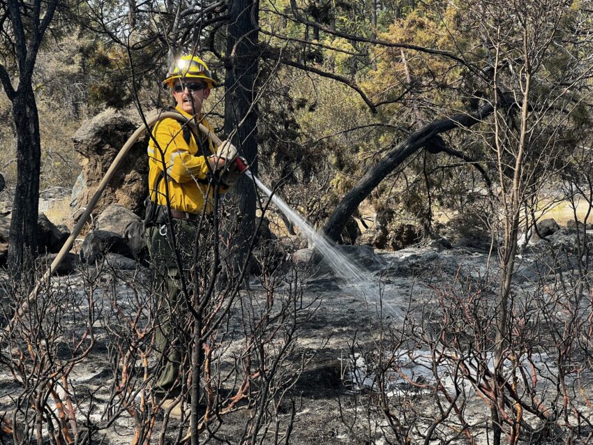
Fire personnel also expanded hose lays around the fire, increasing water availability for mop-up work. Crews are actively extinguishing residual heat and flames near the fireline to prevent flare-ups. Drones and handheld infrared cameras are assisting firefighters in detecting remaining hotspots and locating spot fires outside the containment area.
Shift in Resources
With fire activity moderating and the threat to homes decreasing, the Oregon State Fire Marshal’s Red Incident Management Team and task forces are completing their final operational shift on Sunday. The demobilization will allow task forces to return to their home agencies.
Evacuations and Closures
The Klamath County Sheriff’s Office has implemented evacuation levels around the Elk Fire. Residents can view the current evacuation zones and look up their address at: https://protect.genasys.com/search
Currently:
- No road closures are reported.
- Fire restrictions remain in effect: ODF Fire Restrictions
A temporary flight restriction (TFR) remains in place for the area. More information: FAA Graphic TFRs