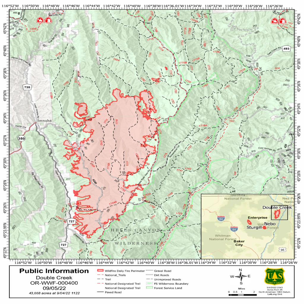
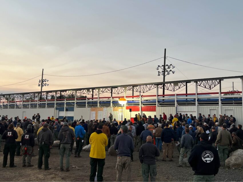
Fire activity was significantly less on Sunday for both the Double Creek and Eagle Cap Wilderness Fires. Although temperatures were warm and relative humidity values were low, winds were much lighter than the previous day. Additional resources continue to arrive, including task forces from the Oregon Office of State Fire Marshal (OSFM). The Double Creek Fire is estimated at 43,668 acres and is zero percent contained.
The lightning-caused Double Creek Fire is a full suppression fire, and the protection of lives and property remains the primary objective. New resources from OSFM arrived on Sunday to provide additional structure protection capacity. Task forces from OSFM initiated structure protection, cleared brush, and increased defensible space around homes along Freezeout and Imnaha roads. Firefighters secured a private inholding (Section 36) along Grizzly Ridge between Buck Point and Pumpkin Creek.
Dozers cleared vegetation along the powerline in the Imnaha River corridor. All the known hunting parties were safely evacuated from the area. On Monday, firefighters will scout additional options on the northern and southern portions of the fire. Crews will mop up and patrol around structures along Freezeout Road and north along the Upper Imnaha Road. Firing operations will continue along the Upper Imnaha Road to secure the fire backing down drainages to the east. OSFM task forces will continue to assist with structure protection along the Imnaha Road and ensure the safety of life and property in the community of Imnaha.
Weather: A weak cold front will move through the area early in the morning. Below normal fire weather conditions are expected Monday with moderate temperatures, higher relative humidity values, and light northwest winds behind the morning’s cold frontal passage. Tuesday and Wednesday’s weather is expected to result in above normal fire activity with increased winds from the southwest and temperatures in the 90s.

Smoke: Current air quality information for the local area is available on the PurpleAir website.
Evacuations: On Sunday, the Wallowa County Sheriff’s Office modified the evacuation levels for the Double Creek Fire. Level 3 “Go Now” is in effect for the town of Imnaha and south to Freezeout Road. The Upper Imnaha Road, Hat Point Road, and Wallowa Mountain Loop Road (Forest Service Road 39) are closed. Level 2 “Get Set” is in effect for the area from the town of Imnaha north to Fence Creek, including the lands east toward Lightning Creek. Level 1 “Be Ready” is in effect from Freezeout south to the Pallette Ranch and Imnaha River Woods. There are currently no evacuations for the Eagle Cap Wilderness Fire.
Closures: There are trail and road closures for the Double Creek Fire and the Eagle Cap Wilderness Fire. Closure orders and maps are available on the Wallowa Whitman National Forest Fire Incident Updates page.
Airspace: Several airspace restrictions were issued for the Double Creek and Eagle Cap Wilderness Fires. Temporary Flight Restriction (TFR) 2/1532 is in place to provide a safe environment for firefighting aircraft operations on the Double Creek Fire. Notice to Air Missions (NOTAM) 08/234 and NOTAM 08/235 were issued to provide safe airspace for the Eagle Cap Wilderness Fire. Flight restrictions apply to drones. Drones flying in areas of wildfire activity will cause tactical firefighting aircraft to be grounded.
Restrictions: Forest Order #06-16-00-22-04 covers Phase B Fire Restrictions for all National Forest System Lands within the Wallowa-Whitman National Forest, except for the area within a ¼ mile of the Snake River between Hells Canyon Dam, River Mile 247.5, downstream to the Oregon-Washington border at Snake River Mile 176.0, regulated by Forest Order #06-16-04-22-01.
Fire Information
Office hours: 8:00 a.m. – 8:00 p.m.
Phone: 541-216-4579
Email: 2022.doublecreek@firenet.gov
Double Creek Fire
- InciWeb: inciweb.nwcg.gov/incident/8366/
- Facebook: facebook.com/doublecreekfire2022
- YouTube: tinyurl.com/Double-Creek-Fire
