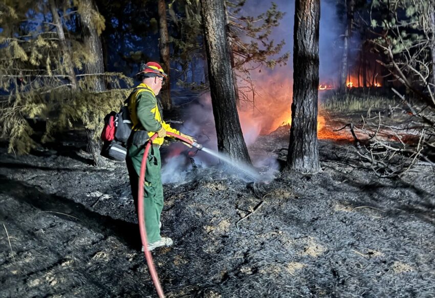
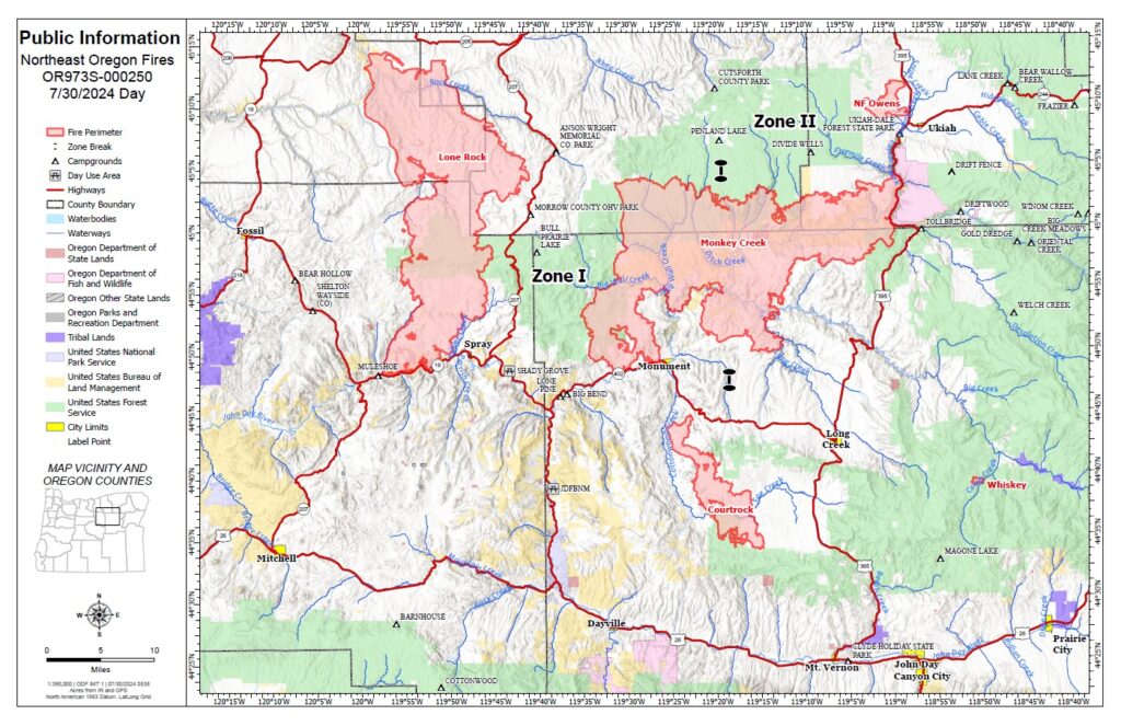
Recent milder weather helped firefighters make progress on the Battle Mountain Complex. Rain and increased humidity provided relief after days of critical conditions and dry fuels. In Zone I of the fire, about a quarter inch of rain fell in the northern areas, while the southwestern part received less rain but still saw improved humidity.
This weather allowed firefighters to extend control lines, fight the fire more aggressively, and finish mopping up potential hot spots. More than 200 miles of fire line are now in the mop-up phase. In Zone I, structural task forces supported by the Oregon State Fire Marshal’s incident management team are focusing on protecting structures and ensuring a safe perimeter. The OSFM has 12 task forces assigned to the complex.
QUICK FACTS
Complex Size: 178,171 acres
Monkey Creek Fire: 173,687
North Fork Owens: 4,484 acres
Total Containment 10%
Cause: Under Investigation
Total Personnel: 1,990
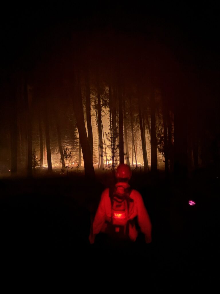
In Zone II, night crews continued mop-up efforts and investigated reports of new smoke. Despite minimal precipitation, warmer weather is expected soon. Incident Commander Tyler McCarty noted that while the rain was helpful, the significant progress is because of the firefighters’ hard work.
The Potamus drainage remains a key area of focus as crews work to contain the fire and prevent further spread. The OSFM’s incident management team is in unified command, coordinating efforts with two Oregon Department of Forestry incident management teams across the complex.
Evacuations
Level 1 (Be Ready), Level 2 (Be Set), and Level 3 (Go Now) evacuations are in effect. For updated information, visit:
• For Umatilla County, follow www.facebook.com/UmatillaCountySheriff or sign up for Umatilla County Emergency Alert System at https://member.everbridge.net/index/2590041373147145.
• For Grant County, visit the RAPTOR arcgis site or sign up for alerts at: https://member.everbridge.net/index/825462649520134.
• For Morrow County, visit https://experience.arcgis.com//de78333b0d2544f7a320142…
Public Land Closures
The Bureau of Land Management has closed public lands along the John Day River from Kimberly to Dale, and from Kimberly to Service Creek. More information here: https://www.blm.gov/…/oregon-washington/fire-restrictions.
The Umatilla National Forest has implemented a closure for public lands within the Heppner Ranger District and the North Fork John Day Ranger District. More information at: https://www.fs.usda.gov/detail/umatilla/news-events/… and https://www.fs.usda.gov/detail/umatilla/alerts-notices/….


