A shift in weather will cause an increase in fire activity today. A red flag warning is in effect for hot and dry conditions. The most active part of the fire will be in the north and northeast today. Internal burning is occurring when there are pockets of unburned vegetation within the fire perimeter. To date, no structures have been lost on the Lookout Fire.
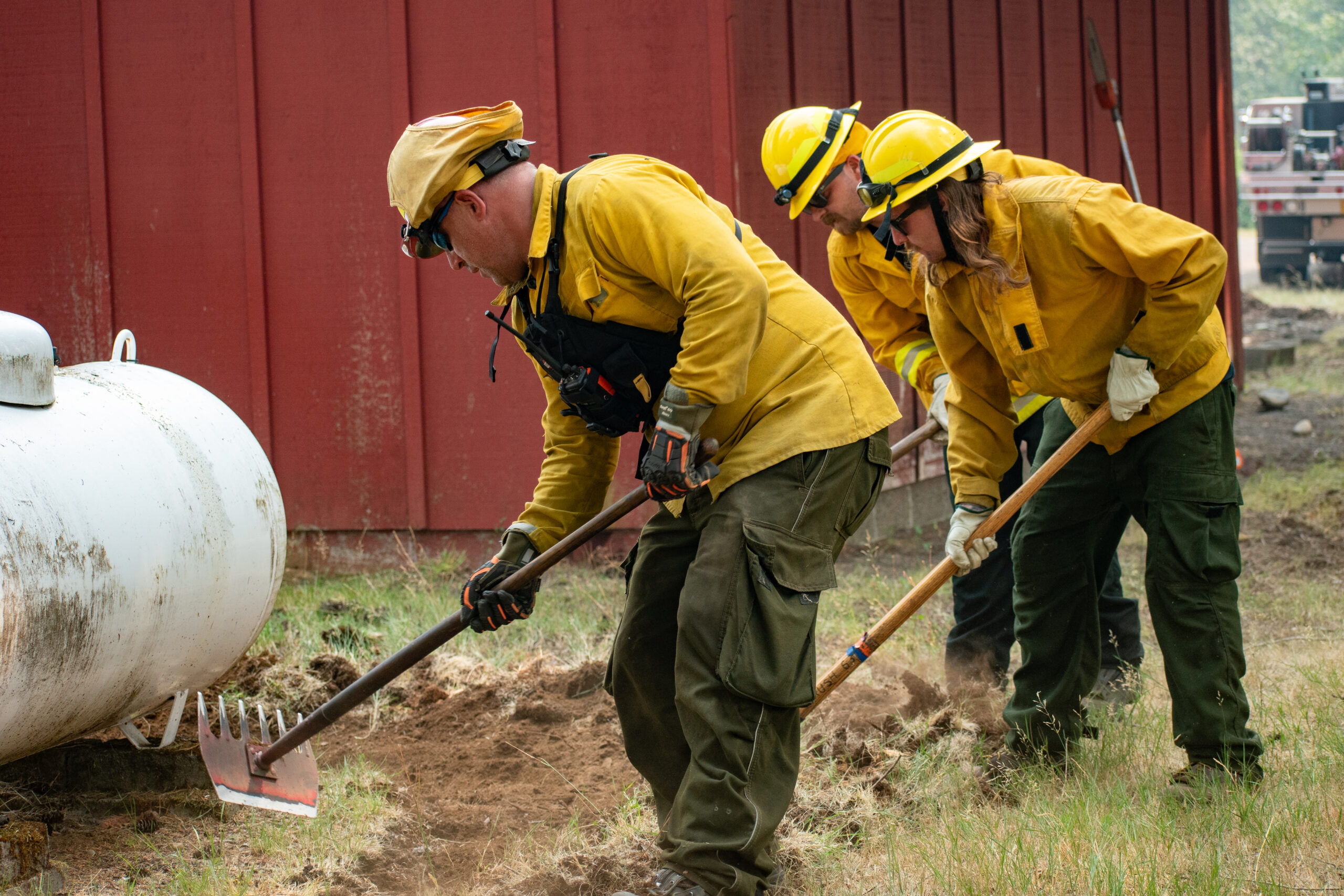
Oregon State Fire Marshal (OSFM) task forces continued to establish and improve defensible space throughout evacuation zones. Day shift crews made headway on structural preparation to the east of Rainbow along Highway 126, including Belknap Hot Springs. Last night, crews completed tactical patrols, working to hold the fire line and ensuring a presence around structures.
Crews will be ensuring lines hold with the weather shift. Firefighters are continuing preparation on the 2633 Road in the west to use as a control line. Where conditions allow, firefighters will use strategic firing operations to strengthen fire lines. Firefighters are working on the 1508 Road using heavy machinery to remove vegetation which helps prevent fire spread. A mobile retardant base has been set up near Tokatee Golf Course. Retardant drops will be used in key areas to assist crews on the ground in slowing fire activity while they work.
Near the north and northeast side of the fire, along the Highway 126 corridor, the seven OSFM task forces will continue preparation work and provide critical infrastructure protection. Night crews will complete tactical patrols and assist wildland resources as needed. A NW Team 6 structure protection group is also working around Trail Bridge Reservoir.
There is an evacuation center for people and small pets at the Lowell High School for evacuees from the Bedrock and Lookout Fires. A large animal shelter is set up at the Lane County Fairgrounds in Eugene.
In Lane County, there is a Level 3 (Go Now) evacuation notice for Taylor Rd, North Bank Rd, All areas north of Hwy 126 between Blue River Reservoir Rd. and Drury Ln, the area south of Hwy 126 to the McKenzie River from the east end of McKenzie River Dr. to the McKenzie River Bridge just east of Taylor Rd, Mona Campground, Lookout Campground, H.J. Andrews Headquarters, the area west of Hwy. 126 from Scott Rd. north into Linn County.
There is a Level 2 (Be Set) from Hwy 126 from the Hwy 242 junction to Scott Rd, Paradise Campground, FS Rd. 302, Belknap Springs Rd. S., Belknap Hot Springs Rd, The area east of Hwy. 126 from Scott Rd. north into Linn County.
There is a Level 1 (Be Ready) evacuation notice for areas south of Hwy. 126 from Blue River Reservoir Rd. east to Foley Ridge Rd, McKenzie River Dr, Hwy 242 to FS Rd. 220, Yale Ln., Camp Yale Rd., and FS Rd. 2643 southeast to the 445 spur.
For current information please see Lane County’s website at:
https://www.lanecountyor.gov/cms/one.aspx?pageId=19729054
In Linn County, there is a Level 3 (Go Now) for Olallie Campground, Trail Bridge Reservoir & Campground, and the trail systems and roadways north of the Linn County line, and west of Highway 126, extending north to intersection of National Forest Service Road 730 and Highway 126.
A Level 2 (Be Ready) for the area from the east side of Olallie Campground east to the Willamette National Forest boundary, north along boundary to Ice Cap Campground and Trailhead, then west to encompass Lakes End Campground and trail system, and south in line with the intersection of National Forest Service Road 730 and Highway 126 (entrance to the Carmen-Smith Hydroelectric facility). Tamolitch Falls/Blue Pool and Smith Reservoir are within this Level 2 (be set) evacuation zone.
Level 1 (Be Ready) evacuation zone for areas north of Ice Cap Campground, extending east to the Willamette National Forest boundary, and north in line with Highway 20. This includes all areas around Clear Lake, and Clear Lake Campground. For current information please see Linn County’s website at:
https://www.linnsheriff.org/…/lookout-fire-update…/
Weather: Red Flag warning from 11 am Saturday to 9 pm Sunday is in effect due to critical fire weather which includes dry and gusty conditions. Closures: Highway 242, McKenzie Highway, is closed between milepost 61-76, 14 miles west of Sisters, Oregon to just east of the junction with Highway 126. Highway 126 is currently open. Please monitor Trip check for any updates https://tripcheck.com/.
Willamette National Forest closures can be found at: https://www.fs.usda.gov/detail/willamette/alertsnotices/…
Restrictions: Fire Restrictions are in place on the Willamette National Forest
https://www.fs.usda.gov/willamette
Smoke Outlook: Smoke outlooks for Lookout Fire are available at
https://outlooks.wildlandfiresmoke.net/outlook/4c92bc1a?
Information Line: 541-215-6735 8am-8pm | Email: 2023.lookout@firenet.gov
Facebook: https://www.facebook.com/LookoutFire2023
Inciweb: https://inciweb.nwcg.gov/incident…/orwif-lookout-fire
