Tomorrow’s weather will provide a test for the fire lines. If the fire stays within the current footprint, fire managers can be more confident that it will not escape the fire lines in the future. The fire is currently estimated at 19,495 acres and is 34% contained. Rum Creek Fire will be under a Haines 6 tomorrow, the highest level on the index, indicating the greatest potential for rapid fire growth. Also, the National Weather Service has issued a Fire Weather Watch for Tuesday afternoon and evening for the Rum Creek Fire area. The forecast calls for high temperatures, gusty winds, and low relative humidity.

The Haines Index is a tool used to estimate the effect of atmospheric dryness and stability on fire growth potential. When the atmosphere is unstable, windy conditions allow the mixing of air near the ground with air higher in the atmosphere. This mixing provides ample fresh air flow to a fire, allowing it to burn freely and potentially grow rapidly and develop a smoke plume. In addition, these conditions are more likely to allow a fire to run or spot past fire lines.
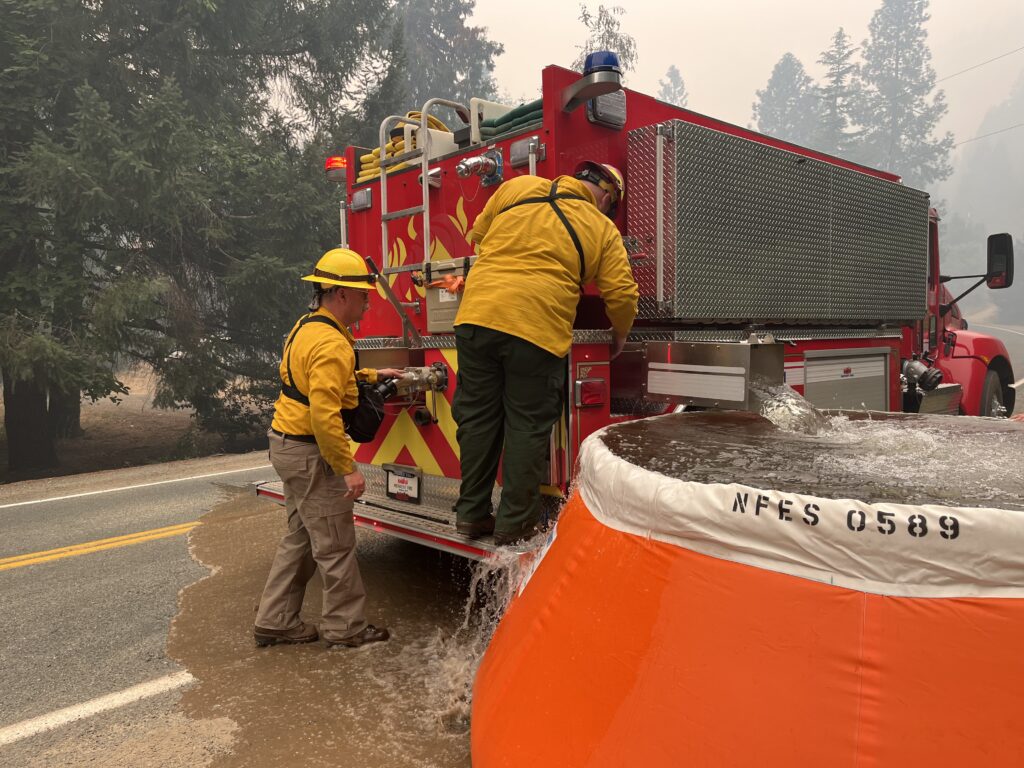
In advance of this weather change, firefighters are working aggressively to contain more of the fire. Sunday night, crews completed the last of the planned tactical firing operations on the west side, tying lines from Mount Peavine north to the Rogue River. The large areas of unburned fuels between this primary line and the natural fire edge in the Rum Creek drainage are closely monitored. The fire is steadily burning through this area, reducing the chance of fire running across the primary line or spotting north across the Rogue River.
On the east side, tactical firing is expected to be completed today near McKnabe Creek. Firefighters continue to mop up around the fire perimeter and near any structures, reducing the chance for fire to cross the primary lines. This hard work is reflected in the increase in containment to 34%.

Office of State Fire Marshal resources continues to mop up remaining hot spots near structures, cutting hazard trees, and patrolling areas along Galice Road. Firefighters are also working on structure assessment and pre-planning to the north and southeast of the fire.
Fire personnel found three more burned structures, bringing the losses to two homes and four minor structures. These were destroyed during the fire’s rapid spread on August 26th and are in an area previously inaccessible to firefighters.
Evacuations: Existing evacuation orders and notifications remain in place. An interactive map showing evacuation levels according to to address can be found at //JosephineCounty.gov/FireMap. For the most current evacuation information and resources, go to Josephine County Incident Information (rvem.org).
Road control: Josephine County Sheriff’s Office has established traffic access points around the fire zone. Roadblocks are located at Galice Road near Crow Road; Galice Store; Bear Camp Road at Peavine (top intersection); Lower Grave Creek Road at Angora Creek (Grays Ranch); Quartz Creek Road about 3 miles up (end of County maintenance); Dutch Henry Road near Kelsey Creek (42 44’56.2/123 40’35.4); and Hog Creek at Galice Road. The National Guard is staffing the roadblocks. Only residents (must show proof of residency) and permitted users will be allowed through.
River Status: The Wild section of the Rogue River below Grave Creek will remain open unless fire conditions warrant closure. River status is determined on a day-to-day basis. Please call 541-471-6535 for more information regarding Rogue River permits. No new boating permits will be issued at this time.
Rum Creek Fire Information
541-625-0849
541-414-3278
